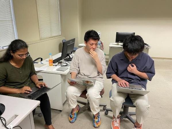
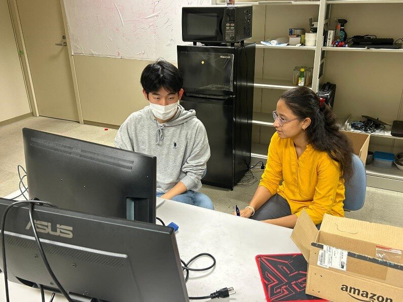
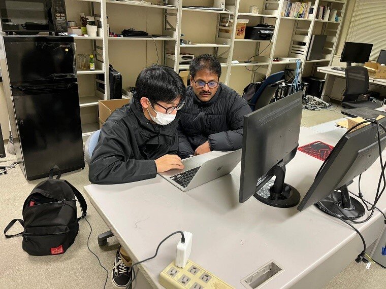
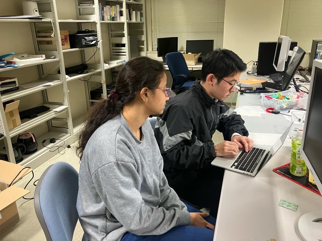
2023年度ベンチャー体験工房3

Undergraduate School and Graduate School
学部・大学院
- ベンチャー体験工房3
- 福島の交通渋滞ビッグデータに隠れたパターンを発見する新たなパターンマイニングモデルの開発
- - Japan Road Transportation Information Center (JARTIC) has set up the sensor network to monitor traffic congestion in Fukushima.
- Each road-segment in this network generates data at every 5-minute interval.
- Previous year, we have developed a data warehouse technology that generates data frames at 10 times faster than the state-of-the-art.
- This year, we plan to develop a novel pattern algorithm to discover hidden patterns. - シラバス詳細
2023年4月
4月10日
授業内容: Introduction to Fukushima Traffic Congestion System. Learn to extract the data and understand the format of data collected.
4月24日
授業内容:Processing the data and converting the Japan geographical information into world geographical format.
2023年5月
5月1日
授業内容: Preprocessing the collected Fukushima congestion data and applying Linear regression to predict the future congestion values.
5月15日
授業内容:Evaluating the error rate and exploring different machine learning models to decrease the error in prediction.
2023年6月
6月5日
授業内容: Conducting the time series analysis on the Fukushima traffic congestion data.
6月19日
授業内容: Converting Fukushima traffic congestion database into row format and performing pattern mining algorithms from PAMI to mine the frequent patterns in the data.
2023年7月
7月3日
授業内容:Converting Fukushima-Traffic congestion data in multiple time series using fuzzy logic. And understanding the statistics of the data.
7月24日
授業内容:Mining partial periodic patterns from multiple fuzzy time series data and visualizing the patterns on QGIS to find which areas are facing the traffic congestion with respected to time instances.
2023年10月
10月10日
授業内容:Preprocessing the collected Fukushima congestion data by JARDIC system and removing NaN values.
10月16日
授業内容:How to use JARDIC system .
From the obtained prepocessed data converting it into one Big Database
2023年11月
11月1日
授業内容:Understanding Different datatypes of Jartic System and visualizing sensor network using QGIS.

11月20日
授業内容:Applying frequent pattern mining technique to find the frequent congested areas using PAMI.Visualizing the resultant frequent congested areas using QGIS.
2023年12月
12月18日
授業内容:Understanding Air Pollution Database and removing the high pollution sensors and less pollution sensors which are no useful.
12月21日
授業内容:Implementing Different algorithms and pointing out the outliers for the data using one class svm , Local outlier factor, Minimum covariance determinant.
2024年1月
1月8日
授業内容:After Finding outliers using Imputations. Now the next step is to find the Hourly data in units of time.
1月15日
授業内容:By taking Hourly Data into consideration . Again By applying Imputation techniques we will find the outliers.
1月22日
授業内容:By using hourly data we will apply Fuzzy alogithm to locate the safe places to live and harmful places also we can detect from the data.